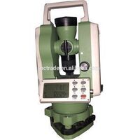
- Products
- Products
- Companies
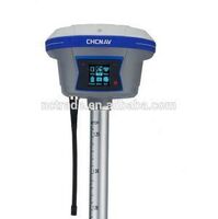
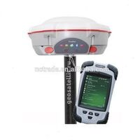
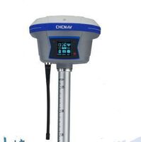
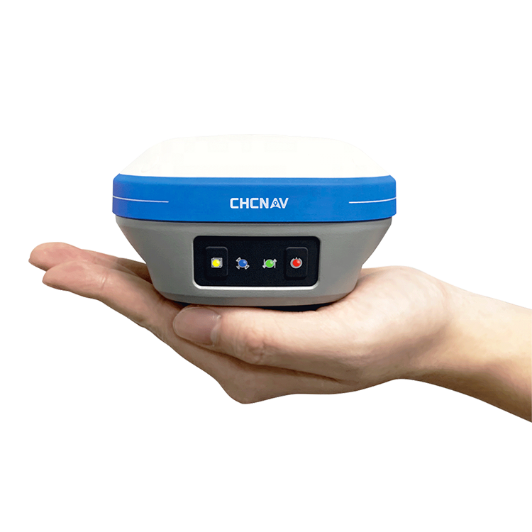
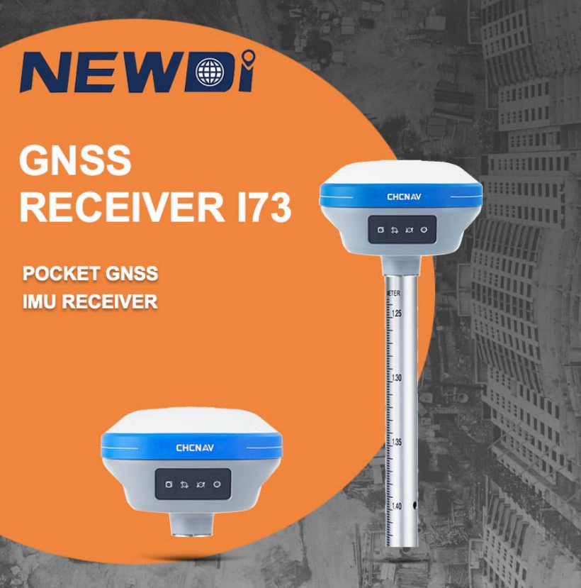
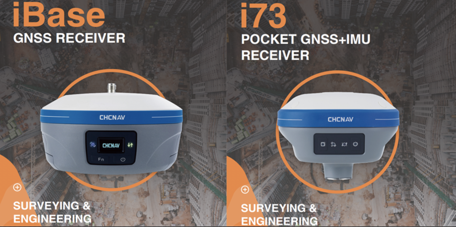
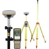
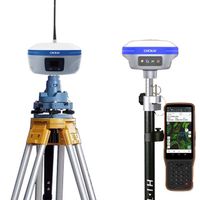
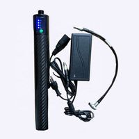
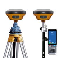
High Precision China Brand GPS RTK CHCNAV i73 GPS Survey Equipment Rover and Land Survey Base GNSS RTK Price

-
Supplier: Shanghai Newdi Navigation Technology Co., Ltd. -
Region: Shanghai, China -
Contact: Mr Allen Niu -
Price: $6500.00 / 2 - 3 sets
$6480.00 / 4 - 9 sets
$6400.00 / >=10 sets -
Min. Order: 2 sets
| Location rate: | 1 Hz, 5 Hz and 10 Hz | product name: | CHCNAV i73 GPS RTK |
| model: | i73 | channel: | 624 channels |
| Custom Support: | OEM | brand: | CDC |
| Beidou: | B1, B2, B3 | Gross weight per piece: | 8.000 kg |
| place of origin; place of origin: | China Shanghai | Certification: | arrival |
| Global Positioning System: | L1, L2, L5 | GLONASS: | L1, L2 |
| Galileo: | E1, E5a, E5b | Sales unit: | single product |
| Warranty: | 1 year | Tilt sensor: | Calibration-free IMU for polar tilt compensation |
| Front Panel: | 4 LEDs | Single package size: | 45X54X38 cm |
| Packaging Preview: | Ingress Protection: | IP67 waterproof and dustproof | |
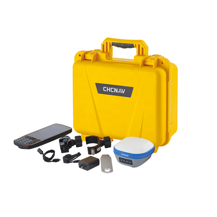
| Packaging Details: | High Precision China Brand GPS RTK CHCNAV i73 GPS Survey Equipment Rover and Land Survey GNSS RTK Price Put all the parts into the tool cabinet and then into the carton. |
High Precision China Brand GPS RTK CHCNAV i73 GPS Survey Equipment Rover and Land Survey Base GNSS RTK Price
|
|||||||||||||||||||||||||||||||||||||||||||||||||||||||||||||||||||||||||||||||||||
Our Warranty Policy:
1. We provide a one and a half year warranty for GNSS products. For optical instruments (total station, theodolite, level) we offer a 1 year warranty. For accessories, we offer a 6-month warranty.
2. Products under warranty please send us photos to show the problem. We will then decide to send you the parts or you send the instrument back to us for repair. We are responsible for round-trip shipping and other charges. Be sure to contact us first instead of sending us the damaged part directly.
3. For problems beyond the warranty period or warranty liability, we will judge the problem and quote you. You will need to pay for round-trip shipping and maintenance.
4. We provide lifetime technical support for all instruments.
Remarks: Improper use of the instrument and man-made damage to the instrument are not covered by the warranty. Warranty is only for product quality issues.
Our technical support:
Before any shipment, we have a quality inspector doing a careful quality check of the instrument (software installation and testing for GNSS products).
For all GNSS and optical instruments, you will get user manuals and how-to videos.
For novice users, we offer free online training (especially for GNSS products) on receiver configuration, survey software on the controller, and post-processing software operation. We also provide on-site training for a fee if required by the client.
For all products, we offer lifetime and 24-hour technical support.
special service:
If you have a survey project and you are looking for the most cost-effective and efficient way to handle it. Just tell us your project specifications, we will feedback professional advice as a reference.
We provide GNSS raw data processing and CAD drawings to survey field end users.
If you have some damaged instruments and want to pick them up for normal use, please send them in for use. We provide professional maintenance services for various measuring equipment.
-
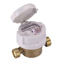
T30 MAP 16 Brass R160 Single Nozzle Dry Water Meter Digital Smart Dial Smart Water Meter

-
Professional high precision geodetic equipment Gps measuring instrument 2023 new cheap rtk GALAXY G3 gnss
-
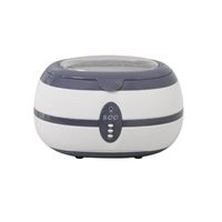
New Ultrasonic Glasses Cleaner Dental Jewelry Professional Ultrasonic Lens Cleaner Washing Machine
-
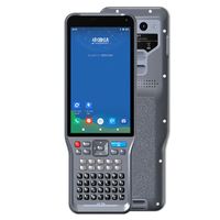
hi target ihand 55 controller rtk gnss rover controller HANDheld V200
-
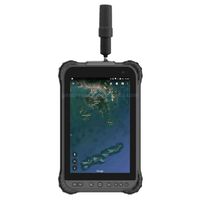
Handheld GPS RTK LT700H GIS collector compatible with all GNSS receivers
-
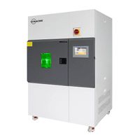
Solar simulator tester New design of large xenon arc aging test chamber Reliable comparability and reproducibility
-
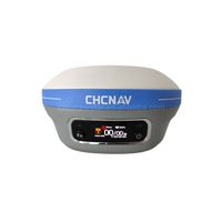
CHCNAV i73+ IMU ibase RTK GNSS GPS DEVICES HIGH ACCURACY GNSSGPS RTK SURVEY
-
chc rtk 2022 latest RTK GNSS Base and Rover CHC x7/ibase GPS device price Chcnav i73 i83 i90 rtk gps
-
BL10000 GPS External Battery 12V 10000mAh for Trimble GPS
-
High Performance 800+ Channels Hi target Gnss Rtk base and rover F200 V200 For Gps Rtk Earth Survey Instrument
Other Products
-
$20.00 / piece
-
$30.00 / piece
-
$4140.00 / unit
-
$370.00 / piece
-
$8000.00 / piece
-
$5500.00 / unit
-
$1900.00 / set
-
$5500.00 / piece
-
$460.00 / piece
-
$8000.00 / unit