- Products
- Products
- Companies
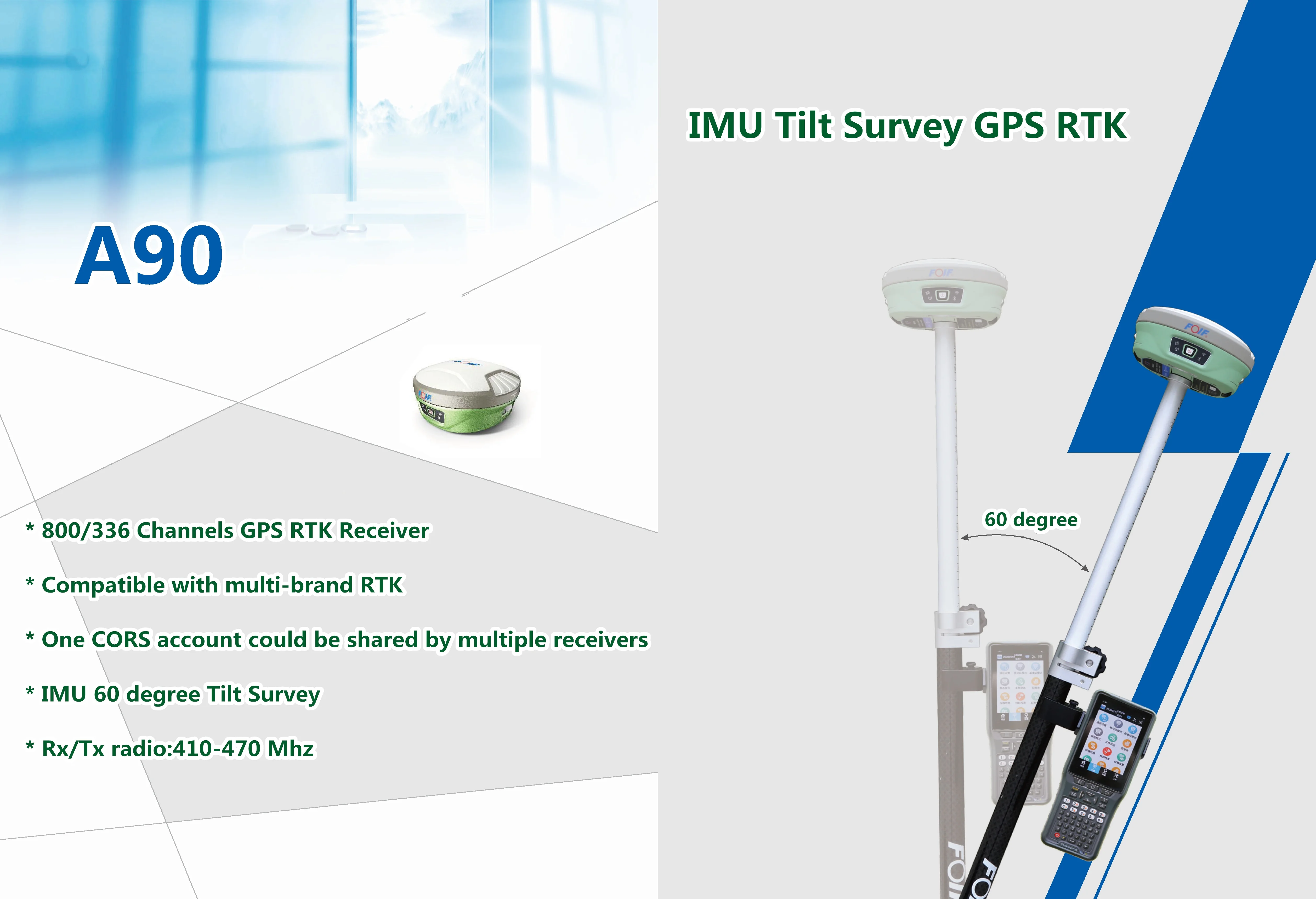
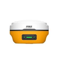
800 channels GPS RTK High precision FOIF A90 gps rtk gnss GPS RTK receiver survey equipment Dual frequency

-
Supplier: Sunnav Technology Co., Ltd. -
Region: Tianjin, China -
Contact: Mr Andy Wang -
Price: $1800.00 /unit -
Min. Order: 1 unit
| Protocol: | GeoTalk,SATEL,PCC-GMSK,TrimTalk,TrimMark,SOUTH; | Selling Units: | Single item; |
| SBAS: | L1 CA, L5; | GLONASS: | G1, G2, P1, P2; |
| Single package size: | 52X25X42 cm; | Package Preview: | ; |
| RTK accuracy: | Horizontal: ± 8mm + 1ppm, Vertical: ± 15mm + 1ppm; | Brand Name: | FOIF; |
| Static accuracy: | Horizontal: ± 2.5mm + 1ppm, Vertical: ± 5mm + 1ppm; | Place of Origin: | China; |
| channel: | 800/394/336/555 Channels; | Single gross weight: | 26.0 KG; |
| BDS: | B1, B2,.B3; | Size: | 156mm * H 76mm; |
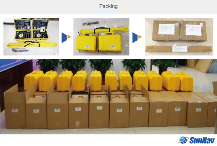
| Packaging Detail: | Standard case package; | GPS: | L1CA, L1P, L1C, L2P, L2C, L5; |
| GALILEO: | E3BC, 35A, E5B; |
A90 GNSS RTK Receiver
(Stonex S900 series) acnovo GX900
Multi Frequency GNSS receiver
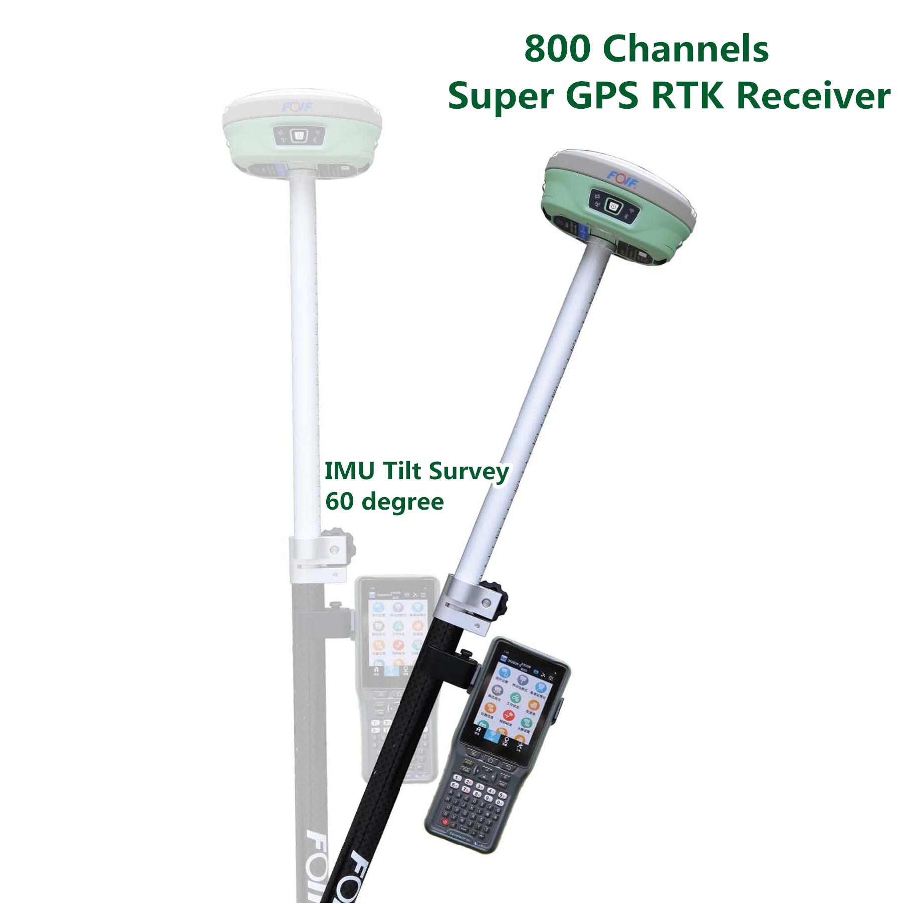
800 Channels Super GPS RTK
SunNav gps rtk dual frequey geophysical survey equipment Cheap gnss receiver
Foif A90 Stonex S900 chc x91 gps rtk
Key Features
Multi-constellation satellite tracked
The world's fifth-generation GNSS baseband chip TIANQIN, integrating 800 super channels, supporting multi-satellite system full-band satellite signal reception.
Athena core GNSS engine
Running Athena core GNSS engine offering improved initialization times, robustness in difficult environments, performance over long baselines and under scintillation.
Atlas
The receiver can receive our new GNSS global corrections service delivered via L-band satellite and internet to abtain centimeter-level positioning accuracy.
aRTK technology
Using aRTK technology to maintain positioning accuracy at a certain time when loss of GNSS has occurred.
Combined antenna
Using a new combined antenna, GNSS, WiFi, Bluetooth and 4G are integrated into one, and the wireless signal is better.
Intelligent base station
After the base station is started, if a positional offset occurs, the mobile station is notified of the alarm.
Tilt measurement 3.0
New tilt measurement algorithm for increased productivity. G970II ZX support 60 degree IMU Tilt surveying.
Dual batteries Design
support hot swap, charging and external charging configurations. It ensures that the receiver replaces the battery with constant power.
Bulit-in 4G network module
More stable network communication.
Main Features:
1) 800 channels(Hemisphere board),
2) Tracking All constellations:
GPS: L1C/A, L1P, L1C, L2P, L2C, L5
GLONASS: G1, G2, P1, P2
BDS: B1, B2, B3
SBAS: LI C/A, L5
GALILEO: E1BC, E5A, E5B
L-BAND
3) Static: H: 2.5mm±1ppm, V: 5mm±1ppm
RTK: H: 8mm±1ppm, V:15mm±1ppm
4) Internal TX/RX UHF radio, the work range is 3-4KM.
5) 35W External radio: the work range is 20-30KM.
6) With Tilt survey function, Electronic Bubble (Option)
7) 4G network, WebUI, Wi-FI, iVoice intelligent, Bluetooth,
8) Strong software "Esurvey", SurvCE, Field Genius, Fast Survey are supported too.
9) Dual batteries design, support hot swap, charging and external charging configurations.
10) Protocol: GeoTalk, SATEL, PCC-GMSK, TrimTalk, TrimMark, SOUTH, hi target
11) Data format: RTCM, CMR+, CRM, ROX, RTCA and etc. Can work with all the famous brand (Trimble, Leica, Topcon) all over the world

Carlson SurvCE/FieldGenius/Esurvey/SurPAD
Surpad Software Professional,intuitive and efficient
This RTK data controller Field Software is designed & developped by the most professional software R&D engineers team, which brings you a professional, intuitive and efficient measurement of the new experience. The ESurvey software integrates construction survey, power survey, GIS data collecting in one unit. This software is compatible both with Windows Mobile and Android platform, it also supports the smart phone to be used as data controller.
1. Power Survey
Line selection, cross measurement, 4-D Data Format output.
2. Road survey
Road design, Middle Side Stake Layout, Cross section survey.
3. Base Map Loading
Support vector data loading such as DXF, SHP and GCP.
4. GIS collection
Support Attribute Data Collecting by Self-Defined data dictionary and export GIS exchange format.
5. Post Processing Software GGO
Support to convert the data format into RINEX, which is compatible with AutoCAD and other Drawing & Mapping Software.

| Model | A90 | |
| GNSS | Channels | 800 |
| Signals | BDS: B1, B2, B3 | |
| GPS: L1CA, L1P. L1C, L2P, L2C, L5 | ||
| GLOASS: G1,G2, P1, P2 | ||
| GALILEO: E1BC, E5a. E5b | ||
| QZSS: L1CA. L2C. L5, L1C | ||
|
SBAS: L1CA, L5; |
||
|
L-Band |
||
| Accuracy | Static | H: 2.5 mm±1ppm , V: 5 mm±1ppm |
| RTK | H: 8 mm±1ppm, V:15 mm±1ppm | |
| DGNSS | <0.5m | |
| ATLAS | 8cm | |
| System | Initialization Time | 8s |
| Initialization Reliable | 99.90% | |
| Operating System | Linux | |
| Merrory | 8GB, support expanable MisroSD | |
| Wifi | 802.11 b/g/n | |
| Bluetooth | V2.1+EDR/V4.1Dual,Class2 | |
| E-Bubble | support | |
| Tilt Survey | IMU Tilt Survey 60°,Fusion Positioning/400Hz refresh rate | |
| Datalink | Audio | support TTS audio broadcast |
| UHF | Tx/Rx Internal Radio, 1W/2W adjustable, radio support 410-470Mhz | |
| Protocol | support GeoTalk,SATEL,PCC-GMSK,TrimTalk,TrimMark,SOUTH,hi target | |
| Network | 4G-LTE, TE-SCDMA, CDMA(EVDO 2000), WCDMA, GSM(GPRS) | |
| Physical | Interface | 1*TNC Radio Antenna, 1*5Pin(Power & RS232),1*7Pin (USB 81 RS232) |
| Button | 1 Power Button | |
| Indication Light | 4 Indication Lights | |
| Size | Φ156mm * H 76mm | |
| Weight | 1.2kg | |
| Power supply | Battery capacity | 7.2V, 24.5Wh(standard two batteries) |
| battery Life Timer | Static Survey: 15 hours, Rover RTK survey: 12h | |
| External power source | DC 9-18V, with overvoltage protection | |
| Environment | Work Temporature | -35℃ ~ +65℃ |
| Storage Temporature | -55℃ ~ +80℃ | |
| waterproof&dustproof | IP68 | |
| Humidity | 100% anti-condensation | |
1. What software this G970II GPS RTK instrument uses?
Re: ESurvey software, surveCE/FieldGenius
2. Can this GPS RTK controller use SurvCE/FieldGenius/Fastsurvey?
Re: Yes
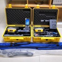
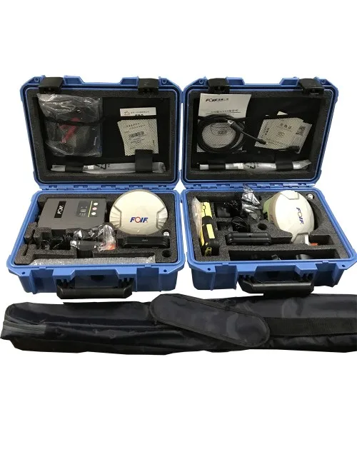
3. What are included in whole set A90 base + rover?
Re: GNSS receiver * 2, controller * 1, 35W external radio * 1, pole * 1, controller bracket * 1 and accessories.
4. For base and rover, can they be exchanged to use?
Re: Yes, the receiver could be base and rover both.
5. What is the post-processing software?
Re: GGO or CGO, free to use, and the Tool static to renix
6. Is rover can work with Ntrip Cors network?
Re: Yes
7. How far is the External radio work range?
Re: 30km without obstacle.
Warranty Period
12 months

Contact me directly
-
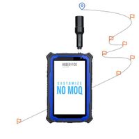
HUGEROCK G71M High Performance GNSS Surveying Instrument GPS Drone RTK Industrial Rugged Android Tablet 7 Inch

-
SK F TKSA 51 laser axis alignment system
-
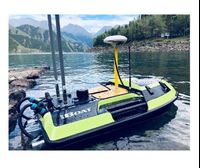
Portable underwater terrain survey won the bid for the price of the unmanned marine vehicle iBoat BS1 unmanned surface vehicle
-
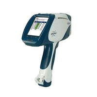
German Bruker Handheld Spectrometer/Handheld Alloy Analyzer S1 TITAN/TRACER 5g
-
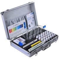
New design drinking water and swimming pool water quality analysis kit / water quality analyzer test kit
-
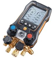
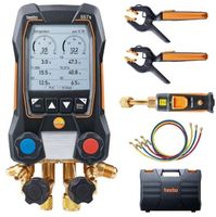
Testo 550s Testo 557s Smart Kit with 2 Digital Multimeter Metering Valves
-
Newest Gnss Receiver Measuring Instruments Gps Gnss Hi-Target Vrtk V5 Gnss
-
New Ivoclar Vivadent Programs P710
-
Smart Testo 557s Smart Kit with 2 digital multimeter valves
-
SunNav S26 GPS RTK Other Test Instruments GPS rtk 970 E91 Geographic Equipment S26 RTK GNSS

Other Products
-
$950.00 / piece
-
$1800.00 / unit